antique vintage Rand McNally Michigan railroad map & guide w/advertising - 1911
 more photos of this product below
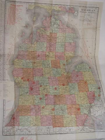
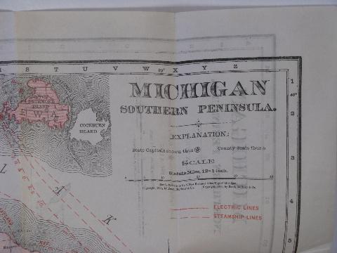
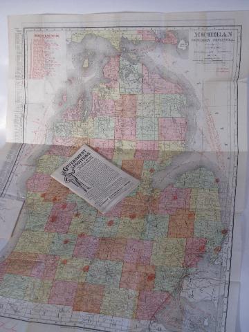
Old antique 1911 Rand McNally Michigan railroad guide and map. The four color map is printed with electric lines, steamship lines and with information for different railroads such as "Blarney & Southern", "Chicago, Milwaukee & St. Paul", "Wisconsin & Michigan. Am Exp." and more. It measures about 21" x 28".
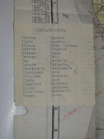
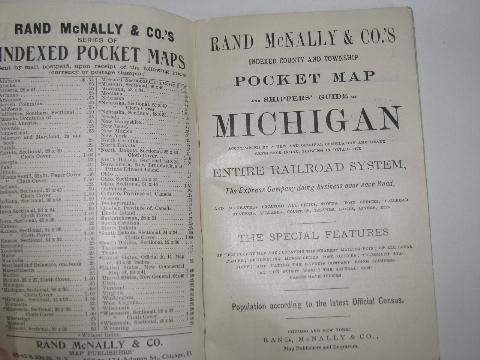
"Rand McNally & Co.'s Michigan Indexed County and Township Pocket Map and Shipper's Guide - Accompanied by a new and original compilation and ready reference index, showing the Entire Railroad System - The Express Company doing business over each road and accurately locating all cities, towns, post offices, railroad stations, villages, counties, islands, lakes, rivers etc. - The Special Features of this pocket map are: locating the nearest mailing point of all local places; designating money-order post offices; telegraph stations; and naming the express company doing business at the point where the several companies have offices." - 78 pages.
These have wear and age.
- sku: #w122911
- status: sold out
- featured in these collections: