1917 Profile Surveys of Rivers in Wisconsin maps/charts
 more photos of this product below
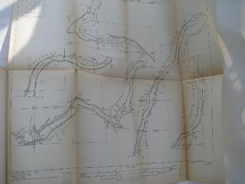
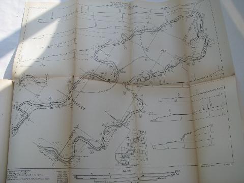
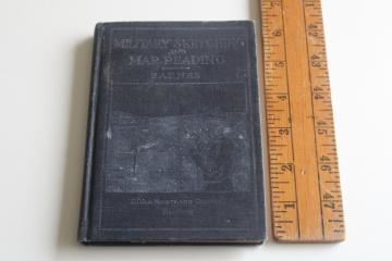
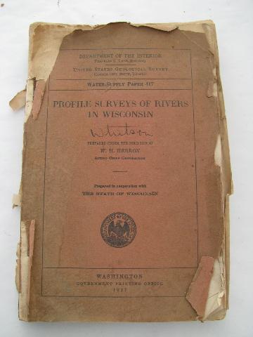
Rare old 1917 edition of "Profile Surveys of Rivers in Wisconsin - United States Geological Survey - Department of the Interior- Prepared under the direction of W.H. Herron - Acting Chief Geographer". This appears to cover the Peshtigo, Chippewa, Black and Wisconsin River basins. There are about 32 folding maps / charts. The maps measure about 17" x 19" and have some yellowing wear at the folds.
The cover is ragged and the binding is falling apart. This has a slight musty odor from years in an attic.
- sku: #h78127
- status: sold out
- featured in these collections: